How Long Is the Chesapeake Bay? Size, Width and Crossing Times
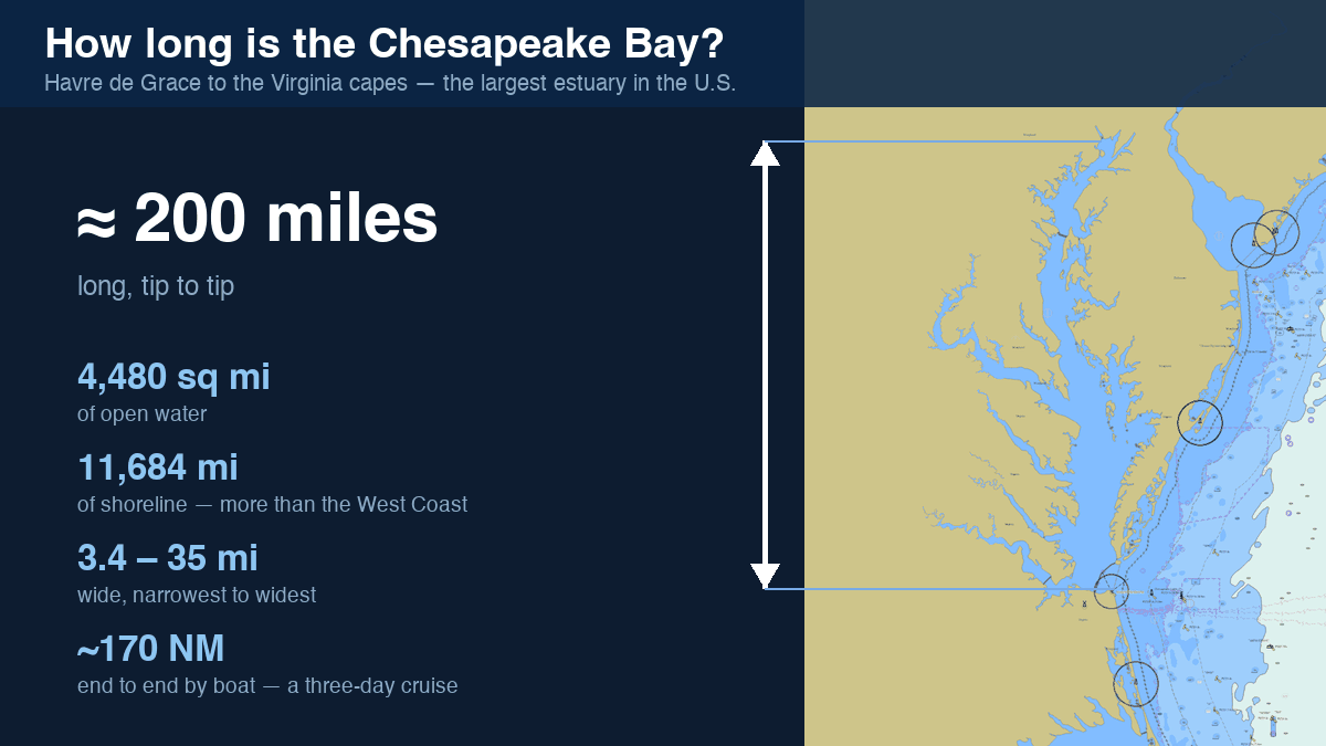
The Chesapeake Bay is about 200 miles long, from the mouth of the Susquehanna River at Havre de Grace, Maryland to the Atlantic between Cape Charles and Cape Henry, Virginia. It is the largest estuary in the United States: roughly 4,480 square miles of water, between 3.4 miles wide (near Aberdeen) and 35 miles at its widest (near the Potomac mouth), with an astonishing 11,684 miles of shoreline counting its tidal tributaries — more than the entire U.S. West Coast.
How long does it take to cross?
East–west crossings are day-sail territory almost everywhere:
- Annapolis → Rock Hall: about 13 NM — 2½ hours at a sailboat's 6 kn, under an hour for a fast powerboat
- Annapolis → St. Michaels: about 22 NM around Bloody Point — close to 4 hours sailing
- Solomons → Oxford: about 40 NM — a full sailing day
- End to end, Havre de Grace → Norfolk: roughly 170 NM by water — a solid three-day cruise at sailboat pace
Distances above are open-water routes, not straight lines — plan your own with the route planner, which checks depths and bridge clearances for your boat and estimates time at your cruising speed.
Deep history, literally
The Bay is the drowned valley of the ancient Susquehanna River, flooded by rising seas after the last ice age — which is why a deep channel (see how deep is the Bay?) snakes down its middle. Stranger still: the location of its mouth was set about 35 million years ago, when a bolide — an asteroid or comet — struck near present-day Cape Charles, leaving a buried crater some 50 miles across that still subtly shapes the lower Bay.
Keep learning
- How Deep Is the Chesapeake Bay? Average 21 ft, 174 ft at Its Deepest
- Chesapeake Bay Water Temperature — Live Readings and Monthly Averages
- Is the Chesapeake Bay Salt Water? The Salinity Gradient, Explained
- Are There Sharks in the Chesapeake Bay? What Actually Swims Here
- Winterizing Your Boat on the Chesapeake
- Plan Next Season's Chesapeake Cruise
- How to Read a Nautical Chart
- When Is High Tide? Chesapeake Bay Tides and Currents, Explained
- Depth, Draft and Safety Margins on the Bay
- Planning a Chesapeake Bay Cruise