Colonial Beach Nautical Chart
A Potomac beach town with a protected harbor in Monroe Bay. The chart shows the marked entrance around the spit (about 6–7 ft, verify locally), the creek anchorage behind it, and the long Potomac fetch that makes northerlies worth planning around.
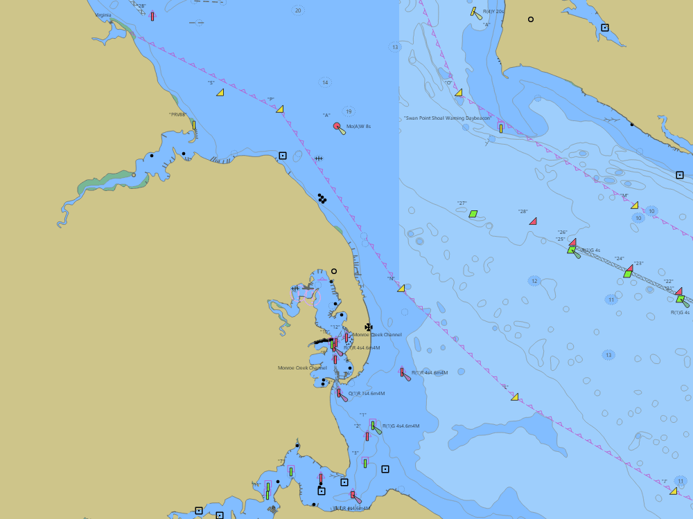
NOAA ENC chart sample, depths in feet at MLLW — tap the chart to explore live. For planning only, not for navigation.
Open the interactive Colonial Beach chart → Plan a trip here — depth-checked for your boat →Free, no signup — works on your phone and installs like an app.
Tide right now — Colonial Beach
Loading the NOAA tide curve… Full predictions: Colonial Beach tide chart.
Marine forecast — Tidal Potomac from Indian Head to Cobb Island MD
Loading the NWS forecast… (NWS zone ANZ536)
Local knowledge
- Monroe Bay entrance about 6–7 ft around the spit — shifting, verify locally
- Harbor is fully protected once inside; anchorage off the yacht clubs
- Long north–south Potomac fetch — northerlies build a real sea outside
On the chart
- Official NOAA ENC data with soundings in feet at MLLW — see how to read a chart
- Buoys, lights, hazards and restricted areas — tap any mark for details
- NOAA tide & current stations with live predictions
- GPS position, route planning and boat-profile depth warnings
Nearby harbors
Straight-line distances for rough passage planning — use the route tool for real courses and times.
- Solomons Island — about 24 NM
- St. Marys City & the St. Marys River — about 25 NM
- Point Lookout & the Potomac Mouth — about 33 NM
- Galesville & the West River — about 41 NM
- Reedville — about 41 NM
- All harbor charts →