Galesville & the West River Nautical Chart
A working waterfront village twenty minutes south of Annapolis by water. The chart covers the West River's marked channel (8–12 ft), the marina row at Galesville, and the Rhode River's island anchorages next door — one of the western shore's favorite overnight spots.
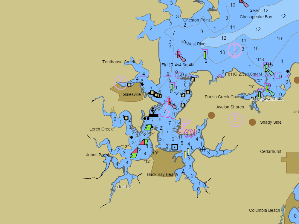
NOAA ENC chart sample, depths in feet at MLLW — tap the chart to explore live. For planning only, not for navigation.
Open the interactive Galesville & the West River chart → Plan a trip here — depth-checked for your boat →Free, no signup — works on your phone and installs like an app.
Marine forecast — Chesapeake Bay from Sandy Point to North Beach MD
Loading the NWS forecast… (NWS zone ANZ532)
Local knowledge
- West River channel 8–12 ft to Galesville's marinas
- Rhode River anchorage 7–9 ft behind High and Flat islands
- No bridges — clear run from the Bay
On the chart
- Official NOAA ENC data with soundings in feet at MLLW — see how to read a chart
- Buoys, lights, hazards and restricted areas — tap any mark for details
- NOAA tide & current stations with live predictions
- GPS position, route planning and boat-profile depth warnings
Nearby harbors
Straight-line distances for rough passage planning — use the route tool for real courses and times.
- Annapolis — about 8 NM
- Magothy River — about 14 NM
- St. Michaels — about 15 NM
- Kent Narrows — about 16 NM
- Oxford — about 20 NM
- All harbor charts →