Reedville Nautical Chart
Home of the menhaden fleet, tucked into Cockrell Creek off the Great Wicomico River near Smith Point. The chart shows the straightforward marked entrance from the Bay, deep water (10–20 ft) right up the creek past the fish factories and Victorian captains' houses, and the classic jumping-off anchorages for a Tangier or Smith Island crossing.
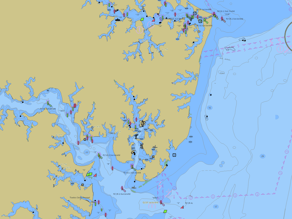
NOAA ENC chart sample, depths in feet at MLLW — tap the chart to explore live. For planning only, not for navigation.
Open the interactive Reedville chart →Free, no signup — works on your phone and installs like an app.
Local knowledge
- Straightforward marked entrance off the Bay near Smith Point
- Cockrell Creek carries 10–20 ft past the fish factories
- Classic jumping-off point for a Tangier or Smith Island crossing
On the chart
- Official NOAA ENC data with soundings in feet at MLLW — see how to read a chart
- Buoys, lights, hazards and restricted areas — tap any mark for details
- NOAA tide & current stations with live predictions
- GPS position, route planning and boat-profile depth warnings
Nearby harbors
Straight-line distances for rough passage planning — use the route tool for real courses and times.
- Point Lookout & the Potomac Mouth — about 12 NM
- Tangier Island — about 14 NM
- Smith Island — about 15 NM
- Deltaville — about 18 NM
- Urbanna — about 19 NM
- All harbor charts →