Smith Island Nautical Chart
Maryland's only inhabited offshore island, reached by the marked Big Thorofare channel from the west — thin water, charted around 5–6 ft controlling, with 1–2 ft flats tight on both sides. The chart shows the route into Ewell, the county dock, and the sound-side approach from Tylerton. Go slow, stay on the marks, and mind the crab-pot floats.
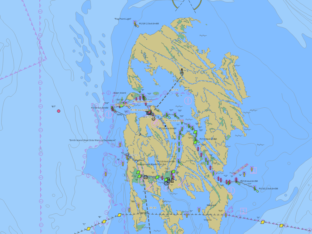
NOAA ENC chart sample, depths in feet at MLLW — tap the chart to explore live. For planning only, not for navigation.
Open the interactive Smith Island chart →Free, no signup — works on your phone and installs like an app.
Local knowledge
- Big Thorofare channel from the west: charted around 5–6 ft controlling — verify locally
- Flats off the channel carry only 1–2 ft
- Ewell county dock is the visitor tie-up; crab-pot floats everywhere in season
On the chart
- Official NOAA ENC data with soundings in feet at MLLW — see how to read a chart
- Buoys, lights, hazards and restricted areas — tap any mark for details
- NOAA tide & current stations with live predictions
- GPS position, route planning and boat-profile depth warnings
Nearby harbors
Straight-line distances for rough passage planning — use the route tool for real courses and times.
- Crisfield — about 9 NM
- Tangier Island — about 10 NM
- Point Lookout & the Potomac Mouth — about 14 NM
- Reedville — about 15 NM
- Onancock — about 21 NM
- All harbor charts →