Yorktown Nautical Chart
History on deep water — the York River runs 30–80 ft nearly bank to bank. The chart shows the approach past the Goodwin Islands, the Coleman swing bridge (charted 60 ft closed; it opens for larger vessels), Riverwalk Landing's transient docks under the bluff, and Sarah Creek and Wormley Creek as nearby anchorage options.
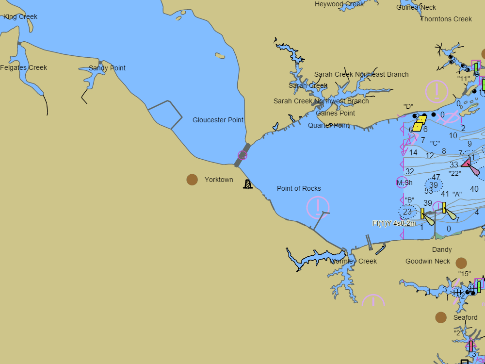
NOAA ENC chart sample, depths in feet at MLLW — tap the chart to explore live. For planning only, not for navigation.
Open the interactive Yorktown chart →Free, no signup — works on your phone and installs like an app.
Next tides — Yorktown (USCG Training Center)
Loading today’s tides…
Full predictions: Yorktown (USCG Training Center) tide chart.
Local knowledge
- Coleman (US-17) swing bridge: 60 ft charted closed; opens for larger vessels
- York River runs 30–80 ft nearly bank to bank
- Riverwalk Landing transient docks under the bluff; Sarah and Wormley creeks for anchoring
On the chart
- Official NOAA ENC data with soundings in feet at MLLW — see how to read a chart
- Buoys, lights, hazards and restricted areas — tap any mark for details
- NOAA tide & current stations with live predictions
- GPS position, route planning and boat-profile depth warnings
Nearby harbors
Straight-line distances for rough passage planning — use the route tool for real courses and times.
- Norfolk & Hampton Roads — about 19 NM
- Deltaville — about 21 NM
- Cape Charles — about 23 NM
- Urbanna — about 24 NM
- Reedville — about 38 NM
- All harbor charts →