Rappahannock River — Marine Forecast
The Rappahannock from Urbanna out to Windmill Point. This is the official National Weather Service zone forecast for Rappahannock River from Urbanna to Windmill Point (zone ANZ635), shown in full and refreshed every time the page loads, with the advisories in effect and what the buoys are measuring right now.
Forecast — Rappahannock River from Urbanna to Windmill Point
Loading the full NWS zone forecast…
Next 48 hours — wind & waves
Loading the NWS hourly forecast grid…
Sea state & small-craft guidance
Loading the NWS wave and wind forecast…
Buoys and towers in this zone
Loading observations…
Was the forecast right? — Stingray Point, VA
Loading the verification record…
Where this zone is
Esri Ocean basemap · NWS zone boundaries · live buoy wind (arrow points downwind) · T = tide station (tap for its page) · neighbouring zones are clickable
Tide stations in this zone
- Urbannafishing
- Deltaville (Jackson Creek)fishing
- Wares Wharffishing
- Bayportfishing
- Millenbeck, Corrotoman Riverfishing
- Wakema (Fraziers Ferry), Mattaponi Riverfishing
- Northburyfishing
- Lester Manorfishing
- Mill Creek (Grey Point)fishing
- West Pointfishing
- Dixiefishing
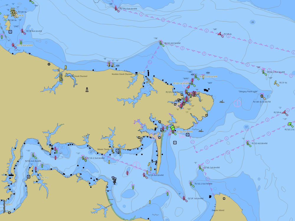
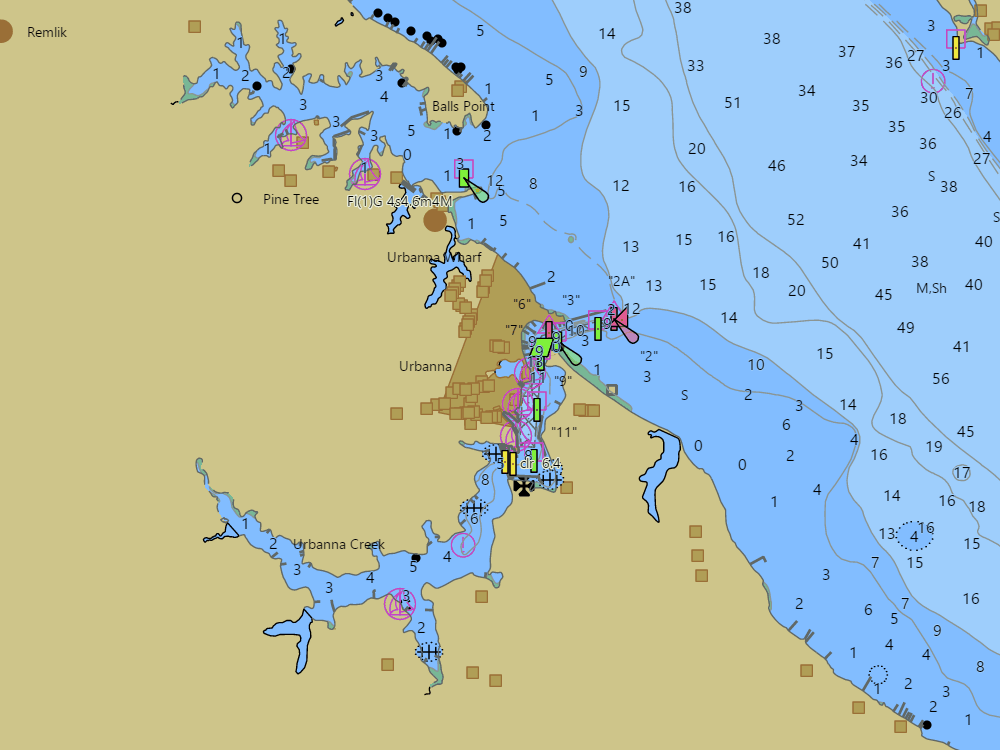
Harbor charts in this zone
Neighbouring zones — Virginia rivers
Reading the forecast
- Small Craft Advisory — sustained winds of 18–33 kt and/or seas hazardous to small boats are expected; on the Bay that usually means 2–4 ft of short, steep chop. Gale Warning: 34–47 kt. Storm Warning: 48 kt and up.
- Waves are significant wave height — the average of the highest third; expect occasional waves half again as high. Bay chop is short-period (3–5 seconds between crests), so 2 ft here feels far rougher than 2 ft of ocean swell — and wind over open water builds it fast: the longer the fetch, the bigger the waves.
- Go / Caution / No-go on these pages is planning guidance computed from the NWS forecast with the thresholds printed beside it — an advisory always outranks it, and it is no substitute for the official forecast or your own judgment.
- Winds are in knots (1 kt = 1.15 mph). “Becoming” means a shift during the period; gusts are listed when they matter.
- Zone forecasts are issued by the NWS Baltimore/Washington, Wakefield or Mount Holly offices about every six hours and amended when conditions change; the issue time is shown under the text.
- Wind against the current builds the roughest water — check the current predictions for the passages you will cross.
Forecast text © NOAA National Weather Service, public domain. Buoy data: NDBC and NOAA CBIBS, relayed every 10 minutes. BayCharts adds the context and the links; it does not alter the forecast.