Middle River Nautical Chart
Baltimore County's boating heartland — thousands of slips up Frog Mortar, Dark Head and Hopkins creeks. The chart shows the marked channels (mostly 7–10 ft), Wilson Point, and the quick run past Hart-Miller Island to open Bay. Sunday-afternoon traffic is half the navigation problem.
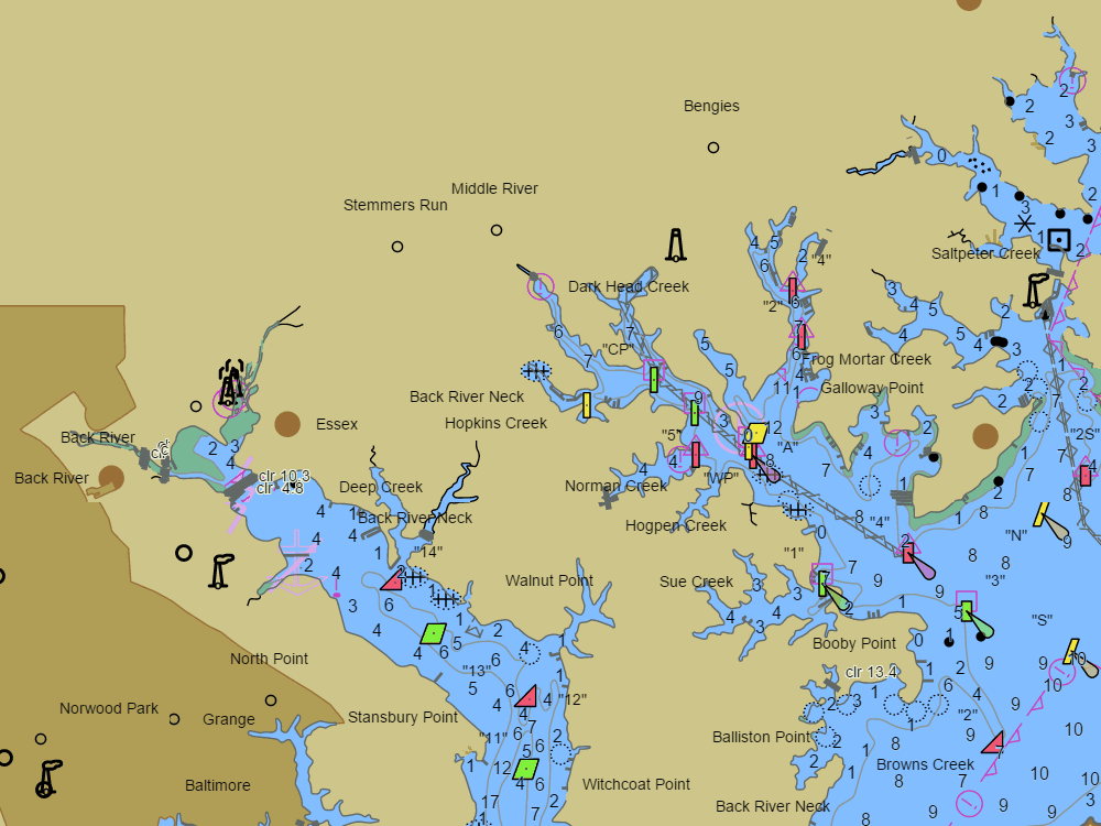
NOAA ENC chart sample, depths in feet at MLLW — tap the chart to explore live. For planning only, not for navigation.
Open the interactive Middle River chart → Plan a trip here — depth-checked for your boat →Free, no signup — works on your phone and installs like an app.
Marine forecast — Chesapeake Bay from Pooles Island to Sandy Point MD
Loading the NWS forecast… (NWS zone ANZ531)
Local knowledge
- Marked creek channels mostly 7–10 ft — stay between the privates, shoals are abrupt
- Hart-Miller Island: the region's big raft-up anchorage, west side
- No bridges to the Bay — any mast clears
On the chart
- Official NOAA ENC data with soundings in feet at MLLW — see how to read a chart
- Buoys, lights, hazards and restricted areas — tap any mark for details
- NOAA tide & current stations with live predictions
- GPS position, route planning and boat-profile depth warnings
Nearby harbors
Straight-line distances for rough passage planning — use the route tool for real courses and times.
- Baltimore Inner Harbor — about 7 NM
- Rock Hall — about 14 NM
- Magothy River — about 15 NM
- Chestertown & the Chester River — about 18 NM
- Annapolis — about 20 NM
- All harbor charts →