Georgetown & the Sassafras River Nautical Chart
The Sassafras is the upper Bay's prettiest river — high wooded banks, fresh water, and a deep fairway that carries 15–30 ft most of the way to Georgetown. The chart covers the entrance between Betterton and Grove Point, the marked channel past Ordinary Point, and the marina row at Georgetown. Mind the charted shoal tongues near the 2SR mark — deep water sits close beside 2–4 ft flats.
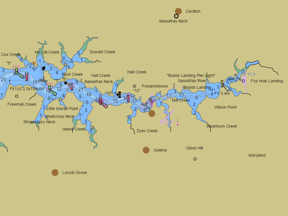
NOAA ENC chart sample, depths in feet at MLLW — tap the chart to explore live. For planning only, not for navigation.
Open the interactive Georgetown & the Sassafras River chart →Free, no signup — works on your phone and installs like an app.
Next tides — Betterton (Sassafras River)
Loading today’s tides…
Full predictions: Betterton (Sassafras River) tide chart.
Local knowledge
- Sassafras fairway carries 15–30 ft most of the way to Georgetown
- Charted shoal tongues near the 2SR mark — deep water sits tight beside 2–4 ft flats
- Fresh water upriver — popular for hull cleaning and hurricane holes
On the chart
- Official NOAA ENC data with soundings in feet at MLLW — see how to read a chart
- Buoys, lights, hazards and restricted areas — tap any mark for details
- NOAA tide & current stations with live predictions
- GPS position, route planning and boat-profile depth warnings
Nearby harbors
Straight-line distances for rough passage planning — use the route tool for real courses and times.
- Chestertown & the Chester River — about 12 NM
- Havre de Grace — about 14 NM
- Rock Hall — about 21 NM
- Kent Narrows — about 29 NM
- Baltimore Inner Harbor — about 33 NM
- All harbor charts →